Kanu-Impressionen von der Ardeche (Frankreich)
Canoeing impressions from the Ardeche (France)
Tour 1: Vogue - Ruoms
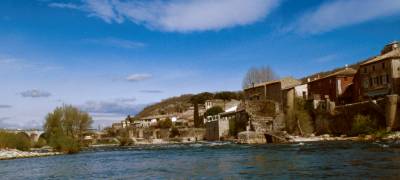
Vogue - schöner alter Ort und ein guter Startpunkt für Kanusportler
(km 73).
Vogue - nice old town and good starting point for canoeists (km 73).
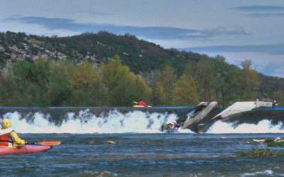
Wehr mit Bootsrutsche in der Mitte (km 69).
Weir with canoe slide in the center (km 69).
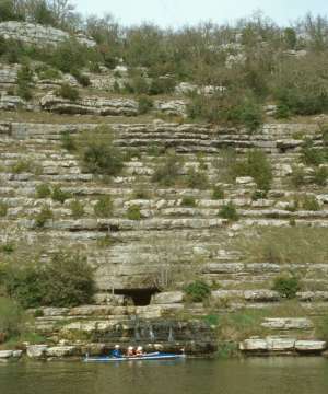
Quellhöhle in der 'Pfannkuchen' Schlucht (km 62-58).
Spring cave in 'pancake' canyon (km 62-58).
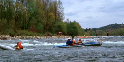
Kleiner Katarakt vor Ruoms (km 56).
Small cataract near Ruoms (km 56).
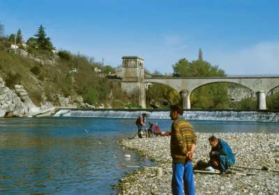
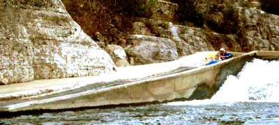
Wehr in Ruoms mit Bootsrutsche am rechten Ufer (auch für F2 geeignet) - das
Wehr besitzt einen gefährlicher Rücklauf bei hohen Wasserständen
! Ausstieg zur Brücke rechts am Beginn der Rutsche oder unterhalb des Wehres
am linken Ufer (km 55).
Weir in Ruoms with canoe slide on the right side (navigable for F2 also) - weir
dangerous at high water levels ! Exit point to the bridge right at the slide or
below the weir on the left bank (km 55).
Tour 2: Ruoms - Vallon
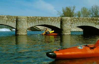
Wehr mit Bootsrutsche und niedriger Brücke danach (km 44).
Weir with canoe slide and subsequent narrow bridge (km 44).
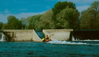
Wehr mit Bootsrutsche (km 41).
Weir with canoe slide (km 41).
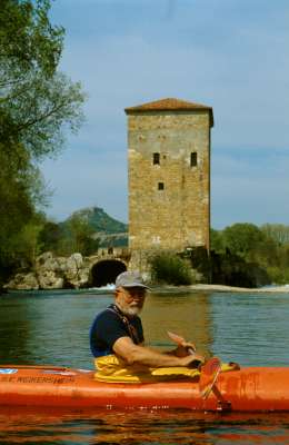
Zerfallenes Turbinenhaus am letzten Wehr oberhalb von Vallon-Pont-d'Arc (km 40.5).
Old machine house of the last weir above Vallon-Pont-d'Arc (km 40.5).
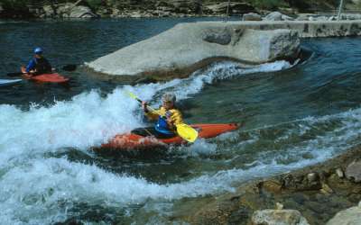
Surfwelle am Ende des künstlichen Slalomkanals in Vallon-Pont-d'Arc (km 40).
Surf wave at the exit of the artificial slalom course in Vallon-Pont-d'Arc (km
40).
Tour 3: Vallon - St.Martin

Die wohl berühmteste natürliche Steinbrücke Europa's: Der Pont
d' Arc (km 36).
The most famous natural 'rock bridge' in Europe: Pont d' Arc (km 36).
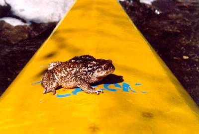
Eine Kröte (oder vielleicht auch Frosch ?) läßt sich auf meinem
Kajak übersetzen.
A toad (or frog ?) taking a ride on my kayak to cross the river.
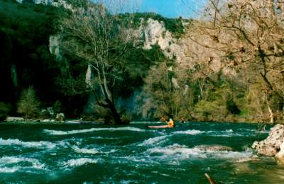
Kleiner Katarakt in der großen Schlucht, dem 'Gorge du Ardeche'.
Small cataract within the great canyon 'Gorge du Ardeche'.
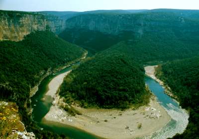
Große Flußschleife der Schlucht.
Big u-turn of the canyon.
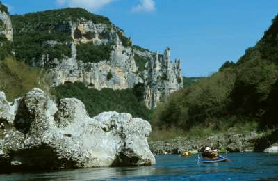
Hinten rechts zu sehen: Die als 'La Cathedrale' bezeichnete markante Felsformation
(km 21).
Famous rock formation 'La Cathedrale' in the middle-right background (km 21).
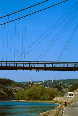
Blick von St. Martin d'Ardeche, dem üblichen Aussatzort, auf den kleinen
Ort Aiguez am oberen Schluchtrand (km 10).
The small village Aiguez on top of the last canyon rim section as seen from the
exit point at St.Martin d'Ardeche (km 10).
Zurück / Back
ardeche_tour.htm, Letzte Änderung: 20.06.2003, © Stefan Schmidt


